MARINE
GEOPHYSICAL SURVEY
We provide professional marine geophysical surveys to complement our hydrographic survey offering. Utilising the latest proven technologies and techniques, we undertake to design the most effective and reliable geophysical survey in support of marine engineering and environmental projects. The application of the most accurate underwater positioning of marine geophysical systems – using IMU, USBL acoustic and altimetry sensors – is of paramount importance in accurately determining the presence of any features or change in the material composition of the bed. Geophysical and positioning systems will be selected based on individual project requirements and can be readily installed on any of our dedicated survey vessels.
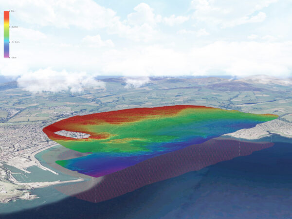
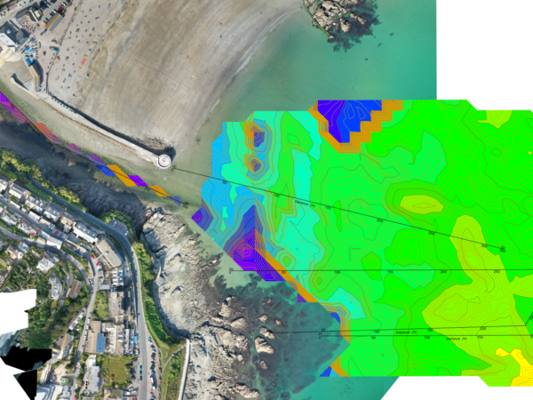
BACK SCATTER MULTIBEAM
The combination of multibeam bathymetry and the associated backscatter (reflectivity) data is an extremely powerful resource in understanding more fully the nature of the mapped bed. Resultant datasets provide invaluable information on bed composition and character including both material classification and habitat type – supporting both engineering and conservation objectives. Our Norbit multibeam systems produce the highest quality backscatter data and is acquired as routine during all multibeam campaigns.
SUB-BOTTOM PROFILING
Sub-bottom profilers identify and measure sediment layers that exist below the bed. Acoustic systems use a lower frequency than standard bathymetry; this allows them to penetrate the sands, silt, and rock to provide a visualisation of the various sediment layers, helping to build up the overall picture during marine geophysical surveys. LandScope can deploy a number of sub-bottom mapping systems including Ground Penetrating Radar (GPR – freshwater only), acoustic sub-bottom profilers and high-resolution multi-channel seismic depending on the environment.
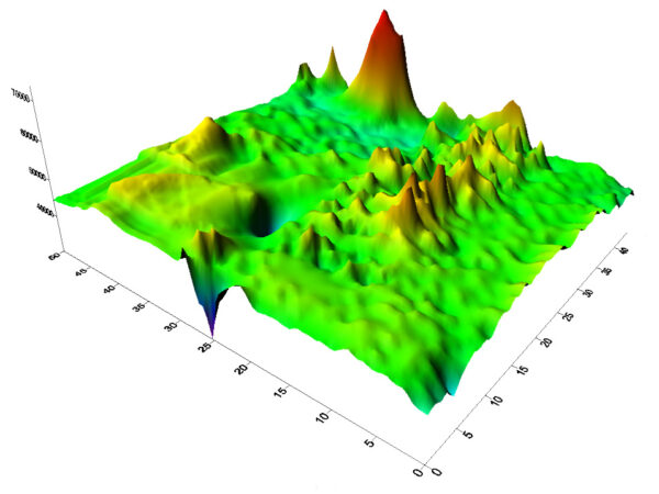
MARINE MAGNETOMETRY
Marine magnetometry measures variation in the magnetic field strength of the bed and underlying seafloor. The systems are towed at low altitude above the bed and well astern of the vessel to ensure highest signal to noise ratio. Commonly used for locating submerged and buried magnetic anomalies, magnetometry has several applications for marine engineering and marine geophysical surveys including UXO location, archaeology, location of sunken vessels and structures and shallow geological studies.
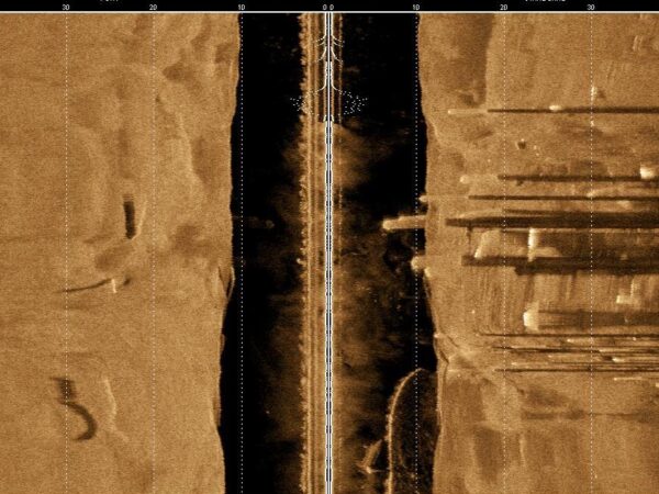
SIDE-SCAN SONAR
Side-scan sonar systems are selected on the basis of water depth, target size / resolution and coverage. The ability to create high resolution georeferenced mosaics enables our customers to clearly identify features of interest on the seabed. The sidescan data will often complement the multibeam bathymetric model and associated backscatter datasets. The wide swath width coverage ensures surveys are completed efficiently, whilst accurate positioning is maintained with USBL acoustic positioning.
IN-HOUSE GEOPHYSICISTS
Our in-house team of geophysicists have diverse national and international experience in both land and marine geophysics and are on hand to advise on the best solution for your project, including survey design, acquisition strategy, data quality control and data processing and deliverables.